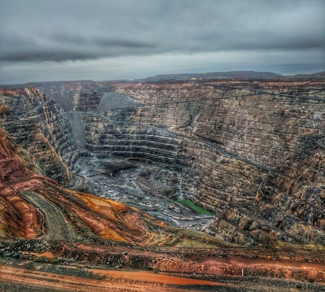
BENAN is redefining mining services by integrating innovation, sustainability, and operational excellence into every project. From initial geological surveys to long-term resource management, we provide comprehensive, data-driven solutions designed to optimize efficiency and minimize risk. By leveraging cutting-edge technology and upholding the highest safety standards, we maximize resource recovery while ensuring our operations contribute positively to the environment and future generations.
Mining & Exploration Exellence
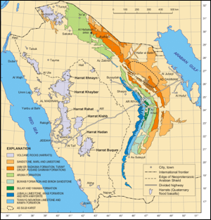
Area Selection (Regional Reconnaissance)
Desktop studies using satellite imagery, geological maps, and historical data
Identification of target regions with mineral potential
Preliminary geochemical and geophysical surveys
Prospecting
Field visits and mapping
Rock, soil, and stream sediment sampling
Identification of visible mineralization or surface anomalies
Detailed Exploration
Detailed geological mapping
Identification of target regions with mineral potential
Preliminary geochemical and geophysical surveys
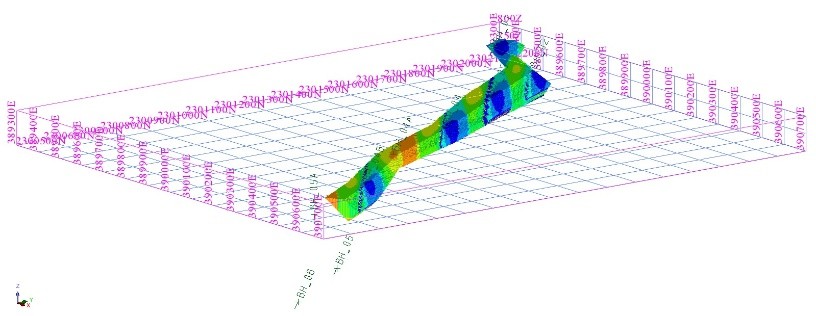
Resource Evaluation
Analysis and modeling of drill data
Estimation of Mineral Resources (using international codes like JORC or NI 43-101)
Preliminary metallurgical testing
3D geological modeling
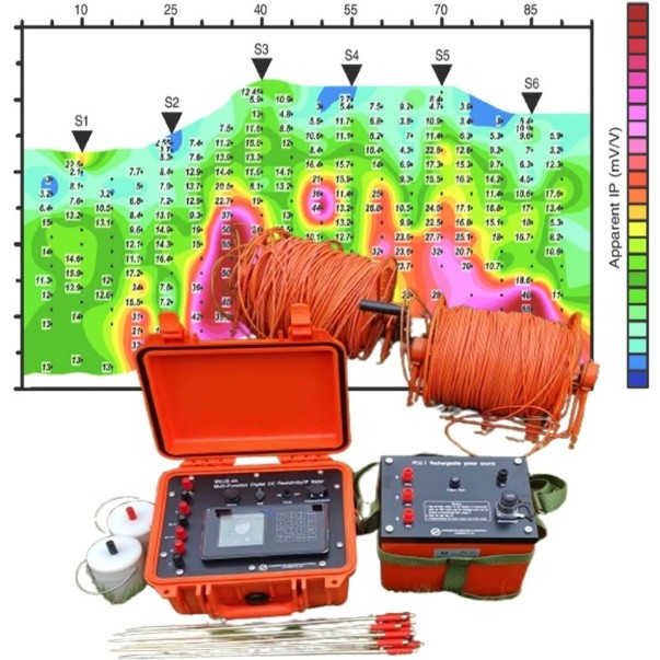
Geophysical Survey
A geophysical survey is a scientific method used to investigate the physical properties of the subsurface of the Earth without drilling or excavation. It involves measuring variations in the Earth’s physical fields—such as magnetic, gravitational, electrical, or seismic properties—to detect and map underground structures, rock types, minerals, groundwater, and other geological features.
Magnetic Surveys
Gravity Surveys
Electrical Resistivity Tomography (ERT)
Induced Polarization (IP)
Electromagnetic (EM) Surveys
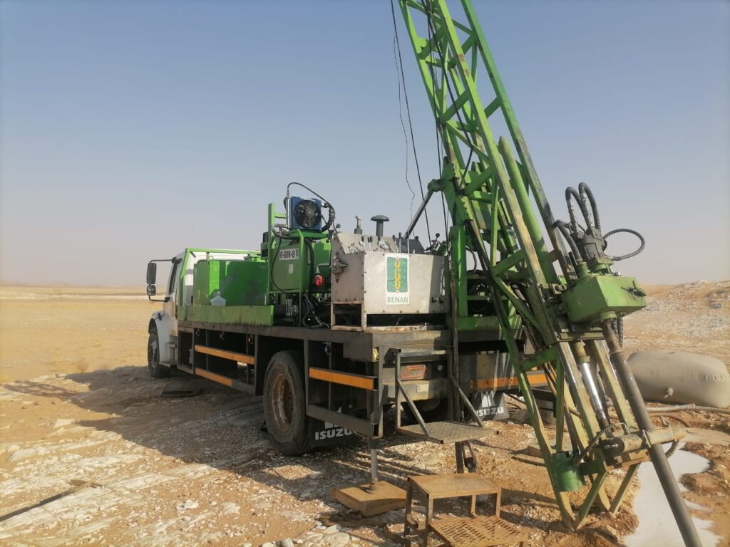
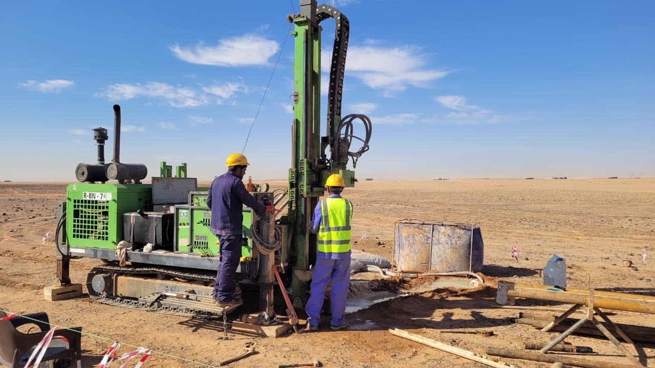
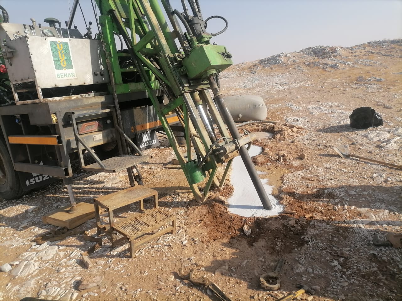
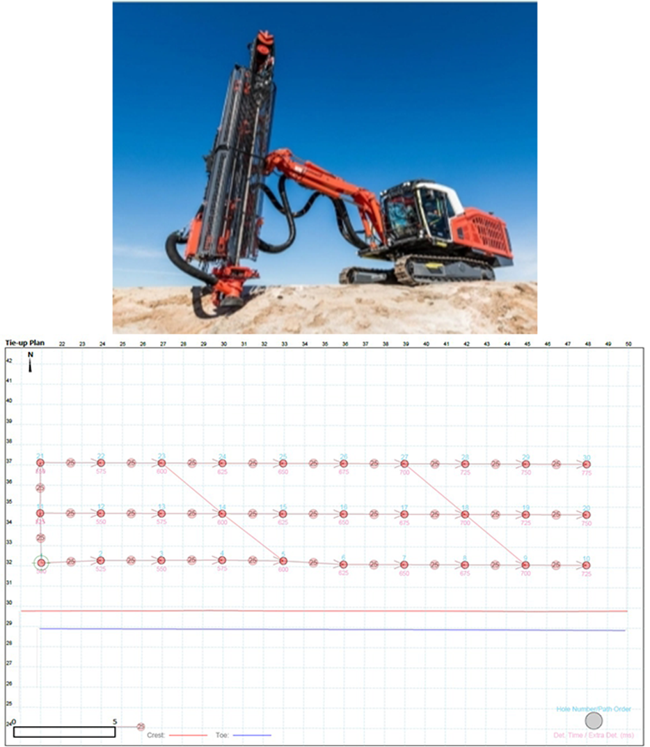
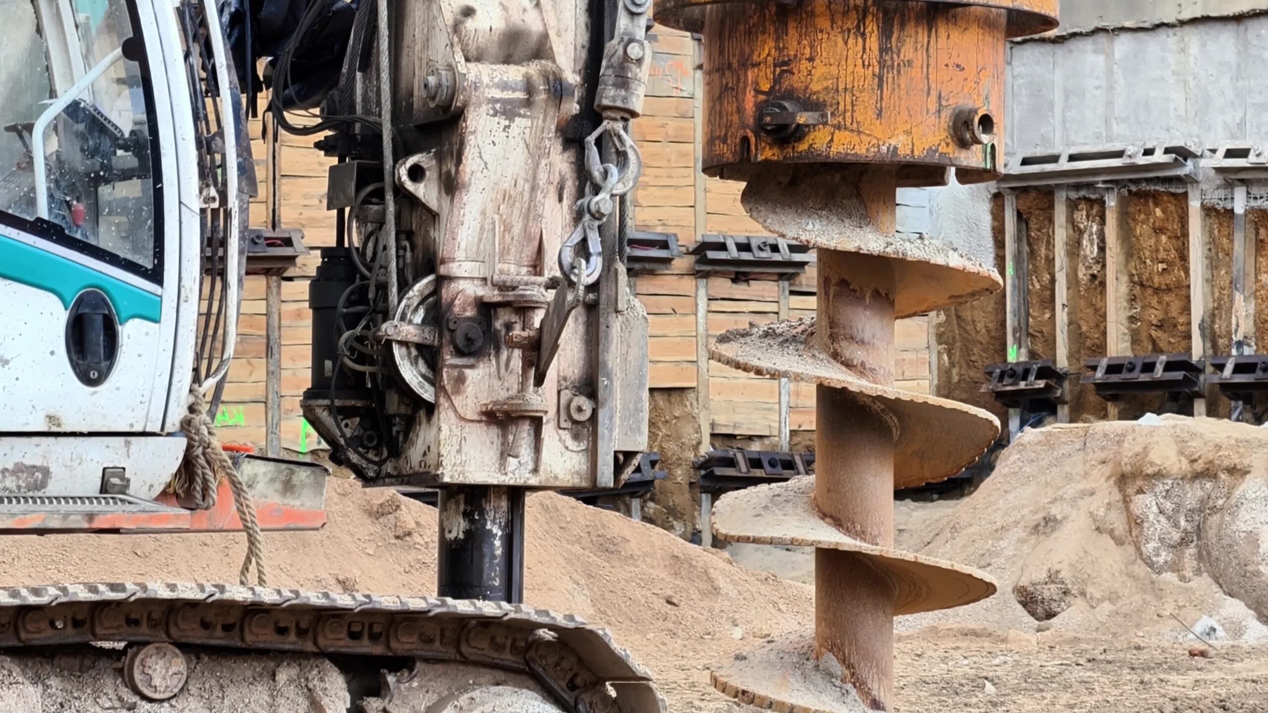
Drilling Services
Drilling is the process of penetrating through the ground and extracting rocks from various depths beneath the surface for confirming the geology beneath and/or providing samples for chemical analysis. Drill holes provide detailed data of the subsurface that can be classified into geological units that are the fundamental elements of the 3D model.
Reverse circulation Drilling (RC)
Diamond Drilling (DD)
Air core Drilling (AC)
Induced Polarization (IP)
Target generation process (ranking, prioritization matrix)
Prefeasibility and Feasibility Studies
Exploration reporting standards (JORC, NI 43-101, CRIRSCO)
Environmental baseline studies
Community engagement (important in early exploration)