Instrumentation and Monitoring
Ensuring Structural Integrity: Our Geotechnical Monitoring Ecosystem
BENAN is a trusted partner in geotechnical safety, providing state-of-the-art monitoring technologies to ensure long-term stability for civil engineering and mining projects. Our mission is to transform subsurface uncertainty into quantifiable, manageable risk through precise instrumentation and real-time data analysis. By delivering critical early-warning reporting and validating design assumptions, we safeguard personnel, assets, and the environment throughout every stage of the project lifecycle. Ultimately, Benan’s comprehensive monitoring ecosystem is designed to mitigate geotechnical risks, ensure regulatory compliance, and optimize operational efficiency through expert technical excellence.
Geotechnical Hazard Assessment:
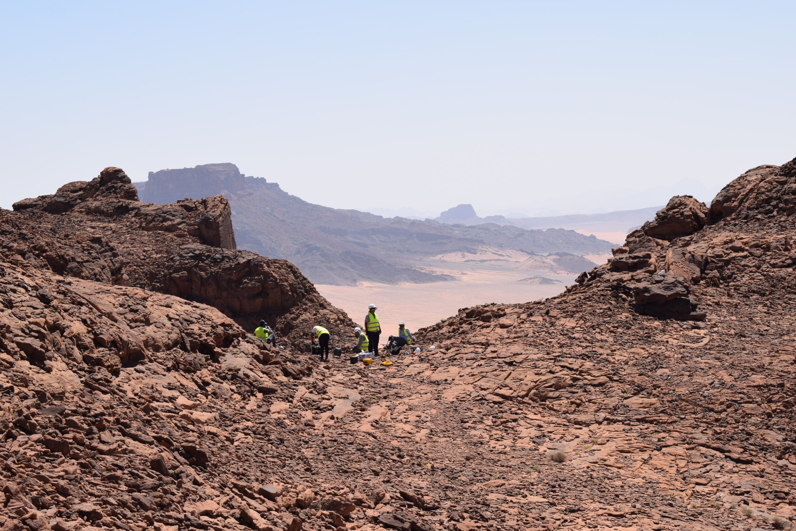
Review of design parameters, geological models, and identified failure mechanisms to define monitoring objectives.
- Instrumentation Scheme Design: Selection of appropriate sensor types, locations, and installation depths tailored to specific risks (e.g., pit slopes, waste dumps, underground excavations, tailings storage facilities).
- Baseline Condition Reporting: Documentation of pre-installation conditions to establish critical reference data.
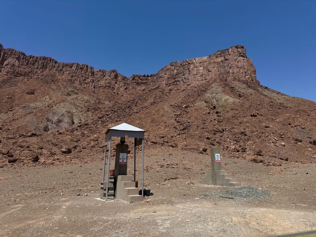
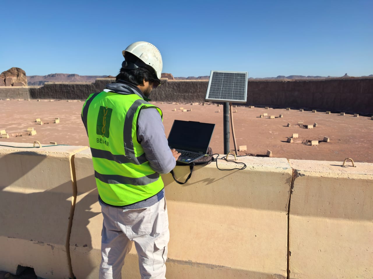
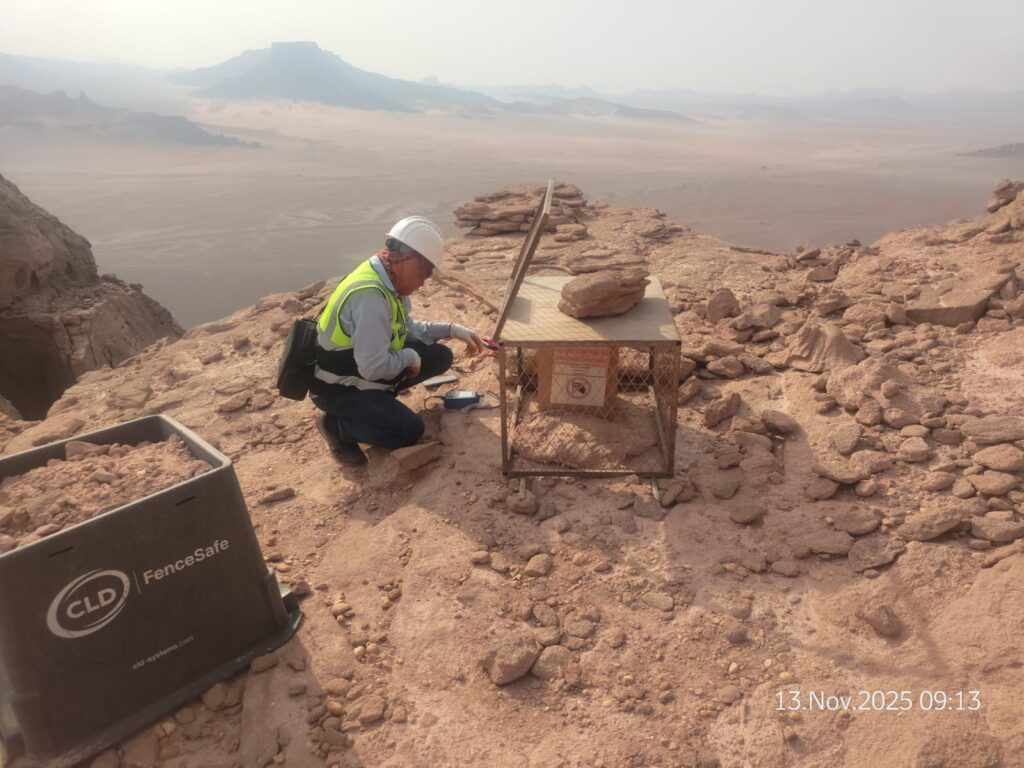
Sensor Supply & Installation
- Deformation Monitoring:
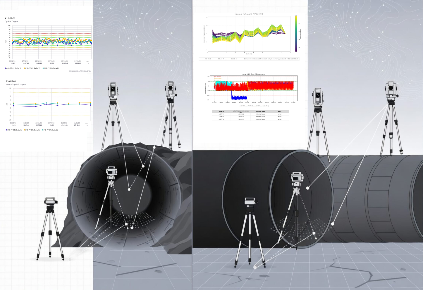
- Survey Prisms & Robotic Total Stations (ATS)
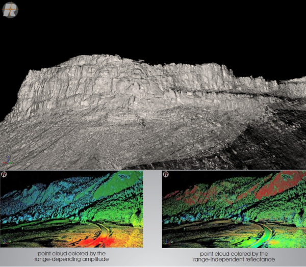
- LiDAR 3D Scanning and Analysis.
- In-Place Inclinometers (IPI)
- Shape Accel Array (SAA) 3D Geo Profile
- Crack Meters & Joint Meters
- Extensometers
- Ground Settlement Gauges
- Stress & Load Monitoring:
- Piezometers (Vibrating Wire, Pneumatic) for pore pressure
- Earth Pressure Cells (Total Stress Cells)
- Load Cells (for anchors, rock bolts, and supports)
- Strain Gauges (embedded in concrete or on steel)
- Seismic & Blast Monitoring:
- Seismographs & Geophones
- Blast Vibration Monitors (PPV, air overpressure)
- Environmental & Corollary Monitoring:
- Rainfall Gauges
- Piezometric Wells (groundwater level)
- Temperature Sensors
- Deformation Monitoring:
Data Acquisition, Transmission & Management
- Automated Data Logging: Deployment of robust, field-hardened dataloggers.
- Real-Time Telemetry Systems: Cellular, radio, or satellite transmission of data to a central server.
- Geotechnical Data Management Platform: A centralized, cloud-based system (GIS-integrated) for storing, visualizing, and managing all monitoring data.
- QA/QC Data Protocols: Procedures to ensure sensor calibration, data integrity, and validation.
Integrity Management & Advisory
- Performance Review Meetings: Facilitating regular reviews with technical and operations teams.
- Trigger Action Response Plans (TARP): Co-developing and updating clear response plans for each alarm level.
- Recommendations for Remedial Actions: Providing advice on remedial action on operational changes based on monitoring data.
- Closure & Post-Closure Monitoring: Designing and implementing long-term monitoring strategies for closed facilities.
Specialized Monitoring Solutions
- Tailings Storage Facility (TSF) Monitoring: Integrated systems for dam deformation, seepage, phreatic surface, and satellite-based InSAR monitoring.
- Underground Tunnel/Mine Monitoring: Convergence monitoring, rock bolt integrity, microseismic monitoring for burst-prone ground.
- Linear Asset Monitoring: Monitoring of haul roads, conveyor foundations, and pipeline stability.
- Structural Health Monitoring (SHM): For critical infrastructure like processing plants, bridges, and retaining walls.